· News · 4 min read
Severe Thunderstorm Warnings: Recent Impacts and Next Areas at Risk
Find information about recent severe thunderstorm warning, watch, impacts and areas potentially impacted next.
What defines a severe thunderstorm?"
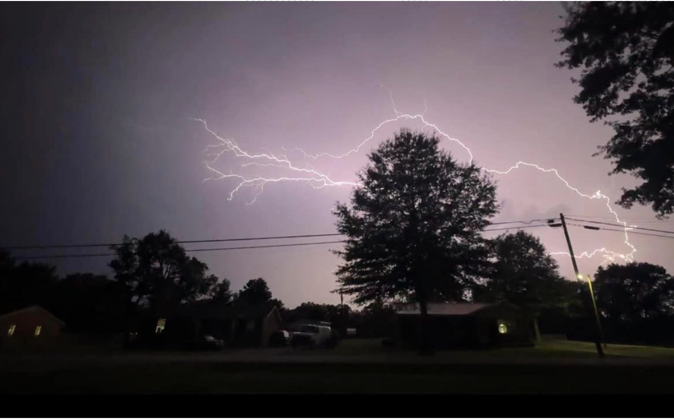
Severe thunderstorms pose significant risks, including damaging winds, large hail, and flash flooding.
Recent warnings issued by the National Weather Service (NWS) highlight areas impacted across the U.S., with forecasts indicating regions that could face similar threats in the coming days. This article explores the latest severe thunderstorm activity, areas recently affected, and what to expect next, based on current weather data and forecasts.
What is a Severe Thunderstorm Warning?
A severe thunderstorm warning is issued when Doppler radar, weather spotters, or reports confirm a thunderstorm producing wind gusts of at least 58 mph (93 km/h) or hail at least 1 inch (2.5 cm) in diameter. These storms can cause property damage, injuries, and, in rare cases, tornadoes without prior warning. The NWS may add “damage threat” tags—base, considerable, or destructive—to indicate severity, with “destructive” storms (winds ≥80 mph or hail ≥2.75 inches) triggering Wireless Emergency Alerts (WEAs) on smartphones.
Recently Impacted Areas
On May 8, 2025, severe thunderstorm warnings were issued for multiple regions, causing significant impacts:
- South Central Texas: A warning covered Nueces, San Patricio, Jim Wells, Live Oak, and Kleberg Counties until 10:15 PM CDT. Storms with 70 mph wind gusts and quarter-sized hail moved southeast at 35 mph, affecting areas like Corpus Christi. Impacts included expected hail damage to vehicles and potential wind damage to roofs, siding, and trees.
- Central North Carolina: A warning was active until 10:45 PM EDT for counties including Moore, Scotland, Harnett, Cumberland, and Wake. Storms with 60 mph winds moved east at 35 mph, posing risks of damage to roofs, siding, and trees.
- South Central Texas (Earlier Warning): Another warning until 9:30 PM CDT targeted Duval, Nueces, San Patricio, McMullen, Jim Wells, and Live Oak Counties. Storms with 60 mph winds and nickel-sized hail threatened similar structural damage.
- Tennessee, Kentucky, Arkansas, and Missouri (April 2025): A deadly tornado outbreak, accompanied by severe thunderstorms, caused widespread destruction. In Selmer, Tennessee, a tornado destroyed homes, while flash flooding inundated roads in Memphis and Nashville. Kentucky reported over 40 road closures due to high water, and Arkansas saw structural damage.
Earlier in 2025, notable events included:
- March 14-15, 2025 (Mid-Mississippi Valley): Supercell thunderstorms produced 80-100 mph downburst winds and hail up to 2.75 inches in Owensboro, Kentucky, damaging homes, vehicles, and infrastructure.
- April 3, 2025 (South and Midwest): Tornadoes and severe thunderstorms hit Arkansas, Tennessee, and Kentucky, with 100 mph wind gusts in Indiana and widespread power outages.
Recent Impacts
The impacts of these storms have been significant:
- Property Damage: High winds and large hail have damaged roofs, siding, windows, and vehicles. In Owensboro, Kentucky, baseball-sized hail caused extensive destruction.
- Power Outages: Storms in Texas, Tennessee, and Oklahoma disrupted power, with over 201,000 customers affected in Dallas County alone on March 4, 2025.
- Flash Flooding: Heavy rainfall led to flooded roads and rivers, particularly in Tennessee, where 5+ inches of rain fell, and in Texas, where rivers like the Trinity and Neches saw minor flooding.
- Structural and Environmental Damage: Downed trees, power poles, and damaged buildings were reported across affected regions, with Arkansas and Kentucky seeing church and community structure damage.
Areas Potentially Impacted Next
The NWS Storm Prediction Center (SPC) and other sources indicate ongoing and future severe weather risks through mid-May 2025:
Southeast U.S. and Mid-Atlantic (May 9-10, 2025): Thunderstorms capable of large hail and severe wind gusts are expected from the eastern Florida Peninsula to southeast Georgia and northeastern North Carolina/southeast Virginia. The SPC highlights a continued risk into Mother’s Day weekend, with potential for flash flooding in the Southeast due to slow-moving storms.
Central Gulf Coast and Deep South: A weak upper low near the Gulf Coast will spur repeated convection across parts of the Southeast and Florida through mid-next week. While severe threats are low, isolated large hail and strong gusts are possible.
Texas and Louisiana: Following recent activity, isolated severe thunderstorms are possible into May 10, with large hail as the primary hazard in south Texas.
Northeast and Florida Peninsula: Severe storms may occur, with risks of hail and damaging winds, though less intense than in the Southeast.
The SPC’s Day 4-8 Convective Outlook suggests that a cutoff low near the Gulf Coast will maintain convective activity in the Southeast, potentially extending to the East Coast by mid-next week. However, substantive severe threats are not expected unless lapse rates improve.
Staying Safe During Severe Thunderstorms
To minimize risks, the NWS recommends:
- Seek Shelter: Move to an interior room on the lowest floor of a sturdy building during a warning.
- Avoid Driving: Flooded roads are dangerous; “Turn around, don’t drown.”
- Stay Informed: Monitor NOAA Weather Radio, local news, or apps like AccuWeather for real-time updates.
- Prepare for Outages: Keep emergency supplies, including flashlights and batteries, ready.